
Skiathos Trails
Waymarking
Red and white all the way: how to read the signs on the trails of Skiathos.
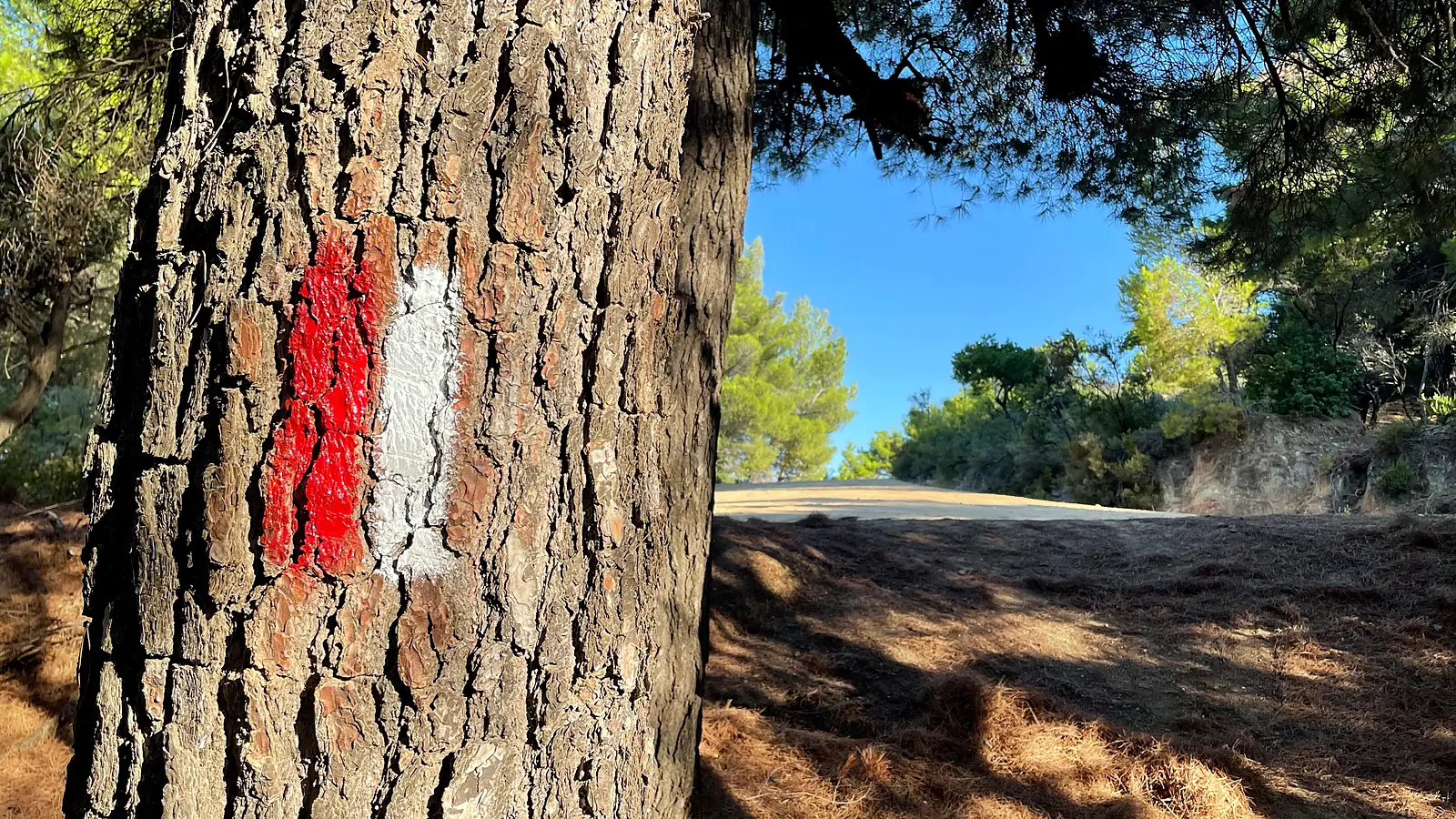
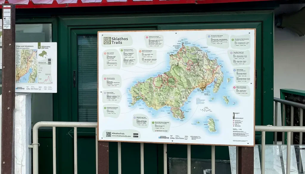
Every official Skiathos Trails route is signed in the field with one consistent system: a network map at the port, an information board where each route starts, signposts at every junction and red-and-white paint marks in between.
- 1Network mapat the port
- 2Route boardswhere each route starts
- 3Signpostsat every junction
- 4Red-and-white marksall along the way
Start at the network map
As soon as you step off the ferry, the Skiathos Trails map board at the port shows the whole network on one map: every route with its number, name, length, walking time and difficulty. The boards next to it introduce routes 1 and 2, which start right there in town.
An information board where each route starts
Each route begins at a board with its number and name in English and Greek, a detailed map, its place on the island and the elevation profile. Check it before you set off:
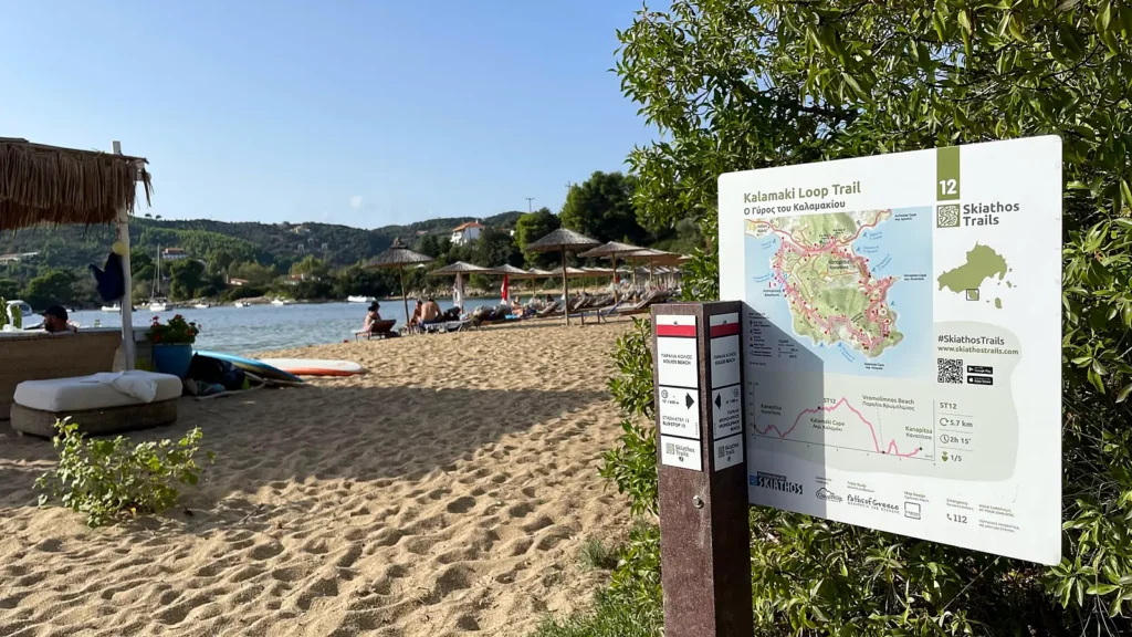
- ST12
- Route code: the same number you see on the signposts and in the app
- 5.7 km
- Length of the route
- 2h 15'
- Walking time at a relaxed pace, without stops
- 1/5
- Difficulty, from 1 (easy) to 5 (demanding)
- 112
- Emergency number
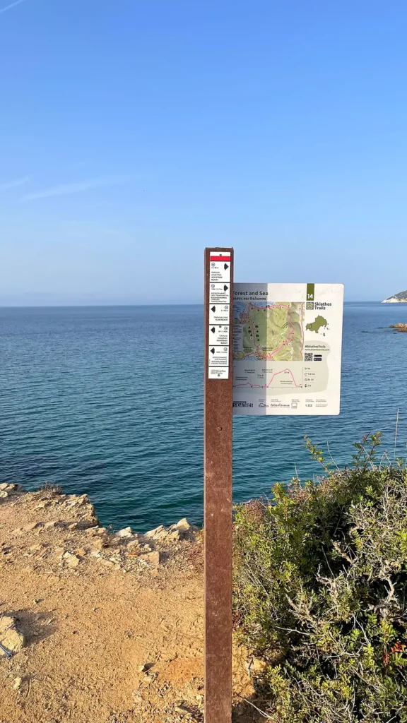
Signposts at every junction
At every junction a brown post carries white plates under a red-and-white cap. The first plate names the place where you stand; each plate below points to a destination, with the trail number, walking time and distance. Destinations include beaches, villages, monasteries and bus stops, so you can always find your way back to the road.
Follow the red and white
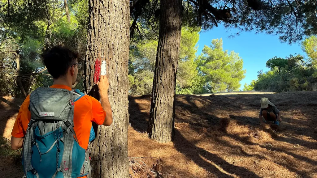
Between junctions, red-and-white paint marks on trees, rocks and walls keep you on the trail. If you have not seen one for a while, go back to the last mark.
Follow the marksTwo stripes, red above white: you are on the trail. Follow the arrowThe stripes end in a point: go that way. Turning pointThe stripes curve: the trail turns here. Wrong directionA red cross: this is not the way, go back to the last waymark.
Signs and app, together
The free Skiathos Trails app uses the same route numbers as the signs, with offline maps and GPS navigation where there is no signal.
112Emergency
Walk carefully, at your own risk. Please do not remove or damage the signs: other walkers rely on them.
Enjoy your hike!